
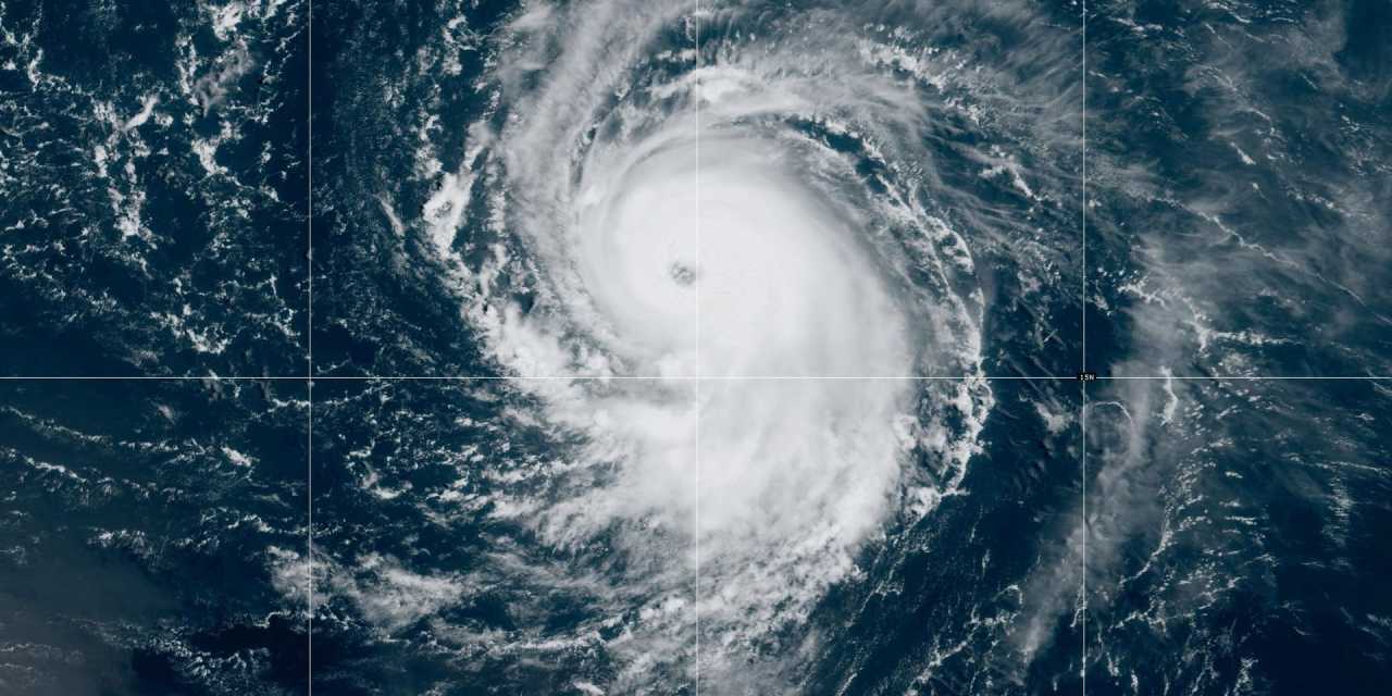

Hurricane Lee has strengthened into a major Category 4 storm with maximum sustained wind speeds of 130 mph, according to the 5 p.m. EDT advisory from the National Hurricane Center.
“Additional strengthening is expected tonight. Fluctuations in intensity are expected after that, but Lee is forecast to remain a powerful major hurricane well into next week,” the center said.
Lee, which was a Category 1 storm earlier Thursday, has been intensifying with exceptional speed in the warm waters of the Atlantic Ocean, strengthening by 50 mph in the last 12 hours. The hurricane is expected to reach Category 5 strength as soon as Friday morning as it approaches the eastern Caribbean.
The hurricane is located about 780 miles east of the northern Leeward Islands, the hurricane center said in its 5 p.m. update.
The storm will likely reach its peak intensity this weekend and is still expected to be a dangerous hurricane over the southwestern Atlantic early next week, though it’s too soon to know whether this system will directly impact the US mainland.
Dangerous surf and rip currents will spread across the northern Caribbean on Friday and begin affecting the United States on Sunday, the center said.

Even more rapid intensification is expected because the forecast track takes Lee across some of the warmest waters in the Atlantic Ocean and through relatively calm upper-level winds – ripe conditions for a hurricane to grow more fierce.
Lee’s winds are expected to peak at 160 mph, or Category 5-strength, Friday night as it approaches the eastern Caribbean and is still expected to be a dangerous hurricane over the southwestern Atlantic early next week.
There is increasing confidence that the center of Lee will pass to the north of the Leeward Islands, the Virgin Islands and Puerto Rico this weekend and into early next week. Tropical storm conditions, life-threatening surf and rip currents could occur on some of these islands over the weekend.
Also Thursday, a tropical depression in the eastern Atlantic strengthened into Tropical Storm Margot, just a few hundred miles west of the Cabo Verde Islands, the center said. Margot currently has winds of 40 mph and steady strengthening is expected – the center is forecasting Margot to become a hurricane over the weekend. The forecast track shows the storm turning to the north over the central Atlantic early next week, but it is not expected to threaten any land areas as of Thursday.
Computer model trends for Lee have shown the hurricane taking a turn to the north early next week. But exactly when that turn occurs and how far west Lee will manage to track by then will play a huge role in how close it gets to the US.